A reasoned selection of essential stops with an equivalent accessible list, designed to guide a visit without becoming a commercial directory. Use the map as a visual index and the list as its accessible equivalent; consult dedicated operational tools for navigation, gradients, closures and access.
Information updated on
Immediate decision
A reasoned selection of essential stops with an equivalent accessible list, designed to guide a visit without becoming a commercial directory. Use the map as a visual index and the list as its accessible equivalent; consult dedicated operational tools for navigation, gradients, closures and access.
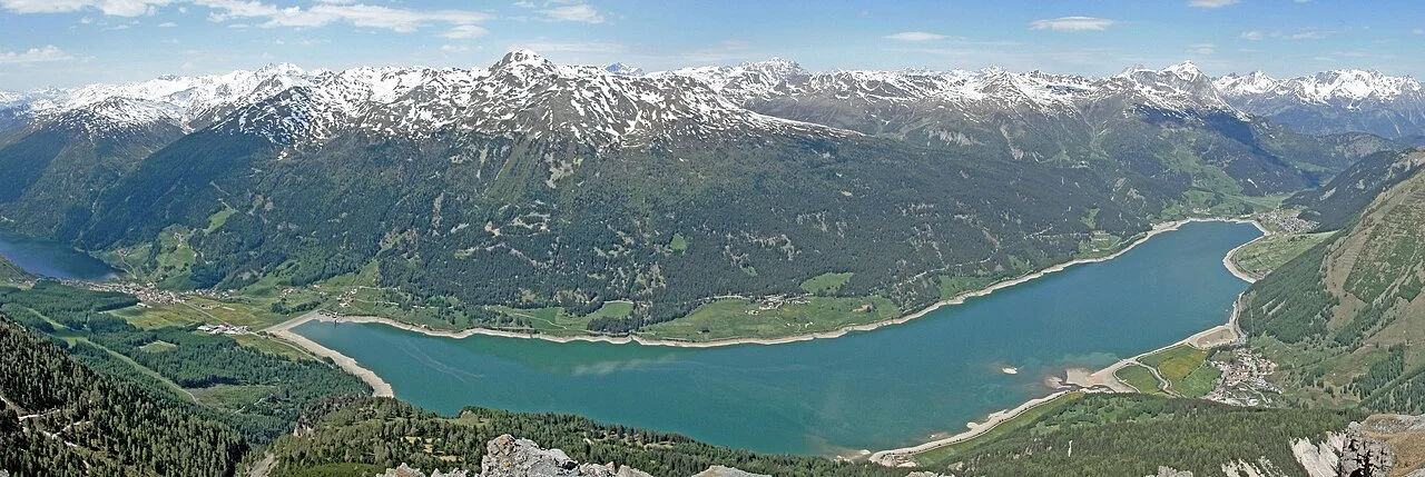
Documented visual context23 May 2009: the view from Endkopf helps distinguish the two lakes and settlements. It is not a trail map or a check of current conditions.Vince51 · Wikimedia Commons file pageWebP derivative from the 1280 px Wikimedia copy; no content changes. Derivative licence: CC BY-SA 3.0.CC BY-SA 3.0
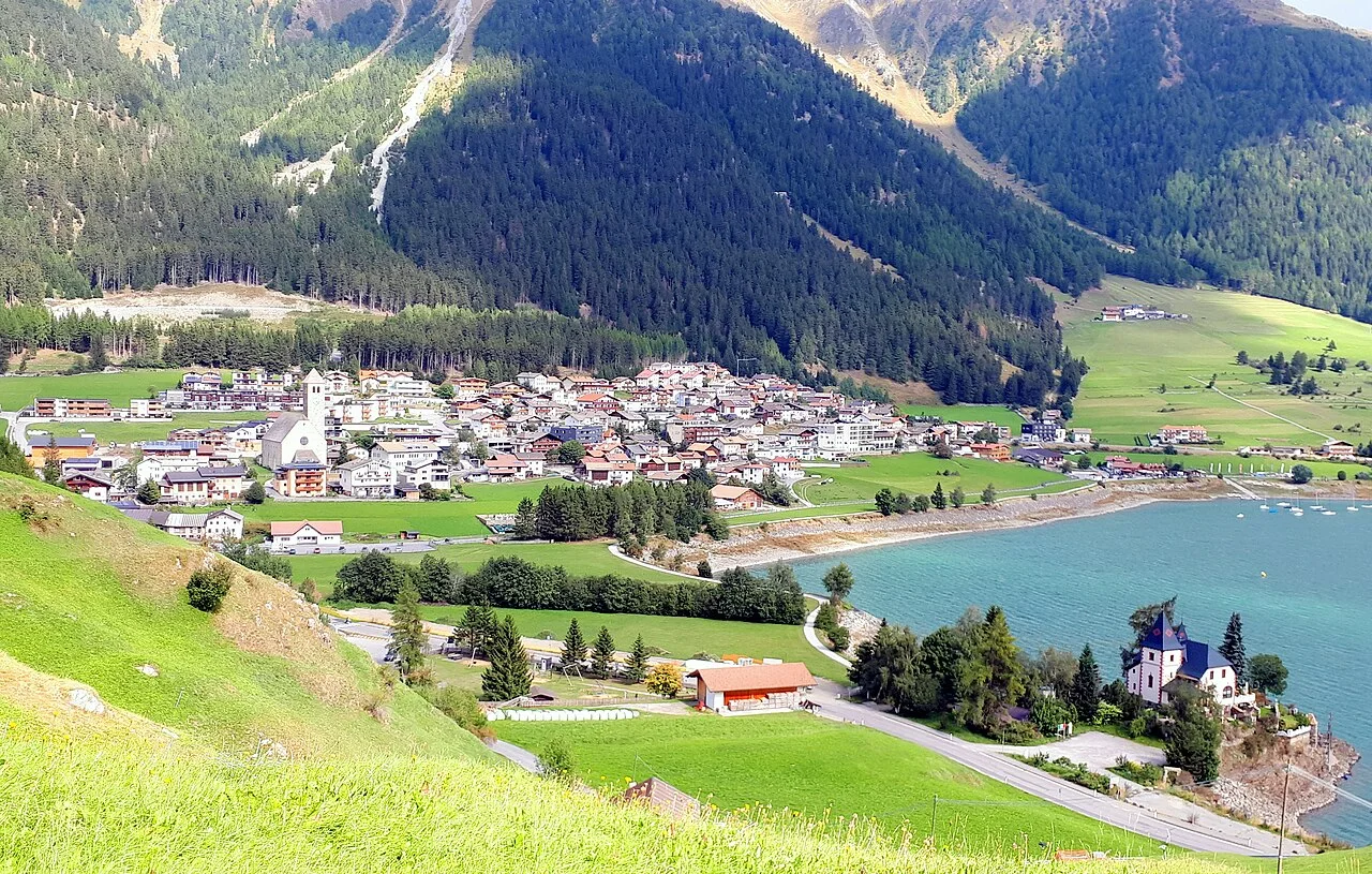
Documented visual context6 September 2022: Reschen at the northern end of the lake. This view identifies the village; it does not verify current roads, accommodation availability or services.ArthurMcGill · Wikimedia Commons file pageWebP derivative from the 1280 px Wikimedia copy; no content changes. Derivative licence: CC BY-SA 4.0.CC BY-SA 4.0
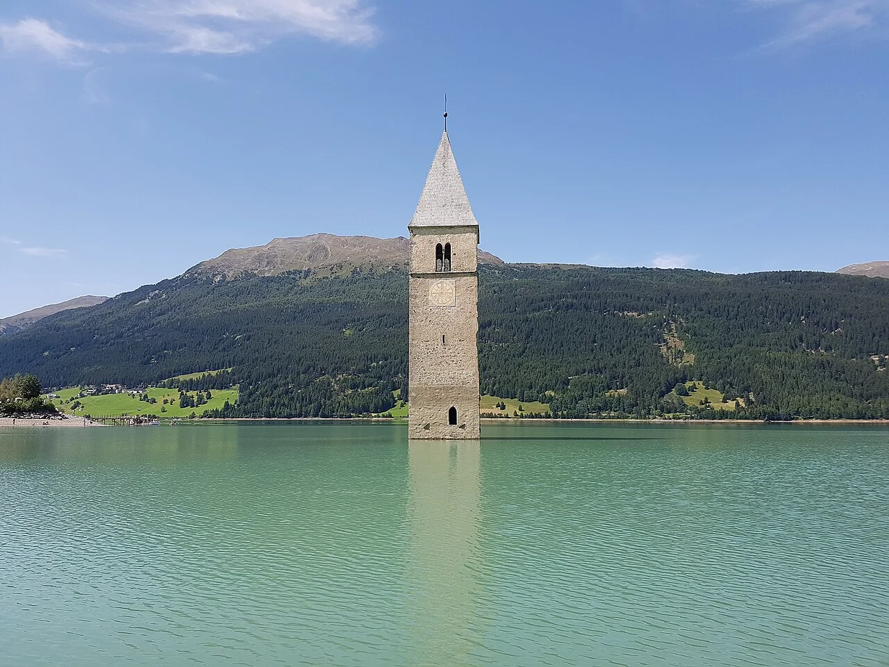
Documented visual context31 July 2017: the bell tower of old Curon and the opposite shore. The photographed water level does not represent today's level.PantheraLeo1359531 · Wikimedia Commons file pageWebP derivative from the 1280 px Wikimedia copy; no content changes. Derivative licence: CC BY-SA 4.0.CC BY-SA 4.0
01
An atlas of sourced records
The map organises localities, places, activities, accommodation and events admitted to the catalogue; each point retains provenance, but inclusion is not a recommendation.
We checked the sources on the date shown. Hours, prices, access, traffic, weather and safety can still change, so check the responsible authority’s latest update before setting out.