.jpg)
Weather
10.9 °C
Clear sky · Open-Meteo forecast · Lake Resia, 1,498 m
within threshold
Source and update
- Source type
- model data
- Freshness
- within threshold
- Source timestamp
 Sjaak Kempe · Wikimedia Commons file pageLocal WebP derivative: resized and responsively cropped; no content changes.CC BY 2.0
Discover the lake, Graun’s story and the stops that suit you. Then build an itinerary with realistic timing and information you can check.
Build your itineraryDiscover Curon's historyStart with a realistic pace and leave room for the landscape, transfers and changes.
In Upper Venosta Valley, near Austria. The reservoir lies at 1,498 m and reaches a maximum depth of 32.5 m.
See the verified factsAllow at least 2 hours for the bell tower and a short walk; choose half a day or more for the wider area.
Choose a durationThe landscape is rewarding year-round. Weather, services, roads and activities need seasonal checks.
Compare seasonsBy car or public transport. Check services, parking and road conditions on the day you travel.
See connectionsAssess the circuit by surface, mixed traffic, wind and group range. Confirm the route and conditions before setting out.
Plan the cycle routeThe lake lies on the Upper Venosta route towards Resia Pass. Journey time and distance from Merano depend on route and traffic.
Open the map and travel optionsThe reservoir reaches a maximum depth of 32.5 m. Old Graun was demolished before flooding; the bell tower is its visible surviving trace.
Read the documented historyFive separate checks: every card states source quality, freshness and timestamp. When data is missing, the next step is verification — never a guess.
Clear sky · Open-Meteo forecast · Lake Resia, 1,498 m
within threshold
Provincial roads · no open-road claim inferred
within threshold
Parking Schöneben · capacity not published
within threshold
Open views on the official tourism portal
verification required
Future date published in the territorial catalogue; check the record before planning around it.
published future date
The area, without rankings
An up-to-date selection of places, activities, accommodation and events. Every page shows its source and date, with no paid organic rankings or reviews. Sponsors remain separate and disclosed.
History needs context, sources and respect.
The bell tower is the most visible sign of a transformation involving villages, families and landscape. This guide separates documents, testimony and editorial interpretation.
Discover the bell towerA landscape read beyond the icon.
Testimony only with consent and attribution.
Discover without simplifying the story.
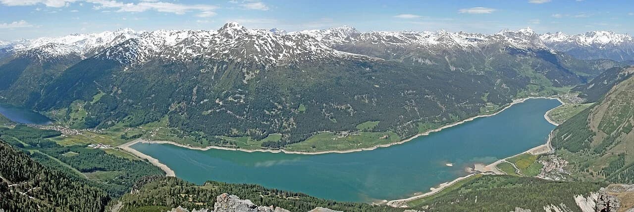
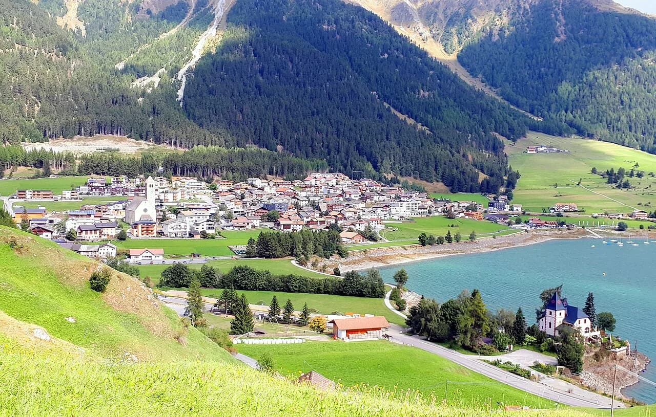
Choose your season and travel party, then check the day’s conditions before setting out.
The stops that genuinely help you get oriented, also available as an accessible list.
Context, memory and observation
Access and surface may change
Editorially selected, not ranked
Availability and services change
A flexible outline to adapt to your pace and the day’s conditions.
For weather, access and parking, we show the source and latest check. If we cannot confirm something, we say so clearly.
| Information | Status | Source | Last check |
|---|---|---|---|
| Weather | external source | Open-Meteo | |
| Access | responsible authority data | Provincia Autonoma di Bolzano | |
| Parking | external source | Open Data Hub |
A bus stop you struggled to find, an unanswered question, a tip you wish you had before leaving. Tell us what would make this guide more useful.
Do you live here or have a memory of Graun? You can suggest a story or a photograph you own. Before any publication we will agree the text, credit and permission with you.
Your email app opens; you decide whether to send. Suggestions are reviewed and are not published automatically.
About this guide
