
Reschen as a northern core locality
Reschen is a distinct locality within the Lake Resia core, not the name of every stop; territorial records keep place, declared services and provenance separate.
Locality atlas
Reschen is included in the atlas for the northern approach to the lake and village services. The underlying records come from named sources and remain separate from editorial judgement: inclusion does not certify opening, quality or availability.
Immediate decision
Territorial guide to Reschen with real places, events, services, map, sources and useful links for planning a visit across the Lake Resia corridor.
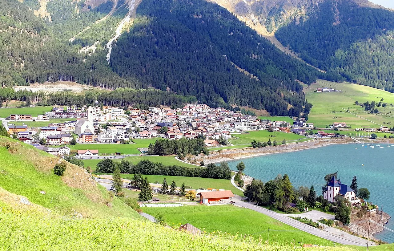
Reschen is a distinct locality within the Lake Resia core, not the name of every stop; territorial records keep place, declared services and provenance separate.
Use the map to read the relationship between Reschen, the shore, Graun and the pass corridor; assign each transfer its own time instead of merging them into one stop.
Catalogue presence and location do not certify opening, connections or accessibility today; check transport, traffic and operators before building the stop.
Locality atlas
A limited selection of real records; every detail page preserves source, licence and date.
Locality atlas
The feed does not prove opening hours, availability, quality or present operating status.
opendatahub.comThe destination map remains the authority for its own listings and may change independently.
www.reschensee.comCoordinates and straight-line distances are orientation aids, not road or travel times.
www.openstreetmap.org